Emulated Military Equipment (EME)
MES is dedicated to supporting our warfighters in the design and development of emulated equipment that looks, feels and trains like the real thing. We focus on keeping realism at the forefront of the design, while at the same time ensuring your investment is cost-effective.

COMPASS
The COMPASS EME emulates a COMPASS, a handheld unit used to determine Azimuths or “Compass Bearings” (Horizontal Angles), to orient or set a map, and determine position of objects in relation to a map.
DAGR
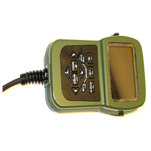
The DAGR EME emulates a Defense Advanced Global Positioning System (GPS) Receiver (DAGR) device, a handheld or host platform mounted unit used in collecting and processing satellite signals to provide position, velocity and time information, along with position reporting and navigation capabilities.
EJTAC LTDe
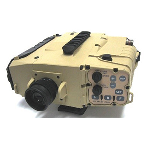
EJTAC LTDe EME emulates the Enhanced Joint Terminal Attack Controller Laser Target Designator (EJTAC-LTD), a device that provides Direct View Optics (DVO) with 5.5 Power day optical magnification, Near Infrared (NIR) Laser Pointer (830 nm beam), Designator/Marker Laser (1064 nm beam), Digital Magnetic Compass that measures and displays magnetic azimuth or grid azimuth in degrees or mils, and Laser rangefinder that measures and displays distance.
GLTD II / SOFLAM
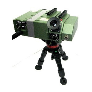
GLTD EME emulates the Ground Laser Target Designator II (GLTD II), a device that provides Sighting Optics with 10 power optical magnification, Laser target designator for directing laser-guided smart weapons, with a target marking capability in excess of 10 kilometers, Laser Rangefinder that measures and displays distance from 200 meters to 19995 meters, Azimuth and Elevation displays, Digital data output for Range and Laser Status and data input for Azimuth and Elevation.
LLDR
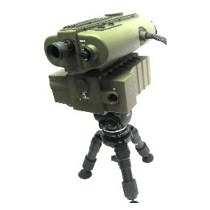
LLDR EME emulates the Lightweight Laser Designator Rangefinder (LLDR), a device composed of two operational items; the Target Locator Module (TLM) and the Laser Designator Module (LDM). The TLM provides day and night observation, eye safe laser range finding, azimuth and vertical angle determination, data/image export, and system operation and control. The LDM provides target designation of stationary and moving targets for Precision Guided Munitions.
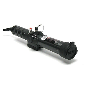
IZLID
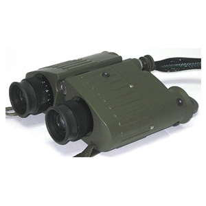
M22 BINOCULARS
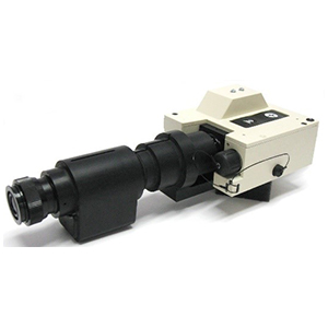
PLRF-15C w/ NVG
PLRF-15C EME emulates the Pocket Laser Rangefinder with Compass (PLRF-15C), a compact handheld device that provides 6 Power optical magnification, Detachable Night Vision Device, Digital Magnetic Compass that measures and displays magnetic azimuth or grid azimuth in degrees or mils, Eye-safe laser rangefinder that measures and displays distances from 5 to 3000 meters, Inclinometer that measures and displays vertical angles between -45° and +45°.
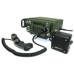
PRC-117G
PRC-117G EME emulates the PRC-117G Radio, a device that provides multi-band, multi-mode operation for ground-to-ground, ground-to-air and Tactical Satellite (TACSAT) communications.
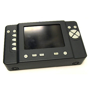
ROVER V
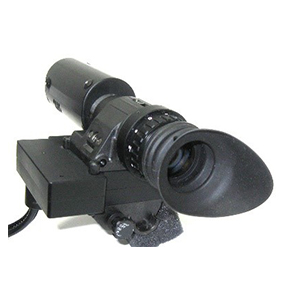
PVS-14 NVM
PVS-14 EME emulates the PVS-14, a device that provides monocular night vision.
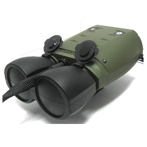
VECTOR 21 w MAGNIFIER
Vector 21 EME emulates the Vector 21 Laser Rangefinder, a handheld device that provides 7 Power optical magnification in a watertight, rubber-armored casing, Binocular Enhancer Attachment that increases optical magnification from 7 to 10 Power, Digital Compass that measures and displays magnetic azimuth or grid azimuth in degrees or mils, Eye-safe laser rangefinder that measures and displays distance from five meters to ten kilometers, Inclinometer that measures and displays vertical angles between -45° and +45°, and Digital output for data interface with devices such as the DAGR (not operational on the Vector 21 EME).
